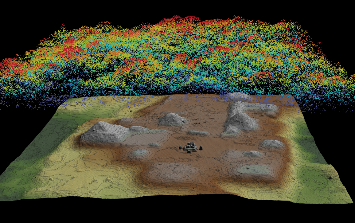
Remote sensing has become a fundamental tool for the investigation of past landscapes.
Aim of this course is to introduce you to a wide range of techniques to detect, map and interpret natural and anthropogenic landforms.
The presented techniques will include satellite images, aerial photographs, LiDAR and 3D terrain mapping through Structure from Motion. The information deriving from all these sources will be visualized, processed and analyzed in QGIS, i.e. a free and open-souce GIS (Geographic Information System) software.
The course consists of 35 h of lectures and 14 h of practical sessions.
- Docente: Jacopo Turchetto
- Docente: Giacomo Vinci
